From Wikipedia
The history of the Black Forest area is closely paralleled by that of a larger area traditionally known as the "Pineries". The area originally extended from Divide, Colorado (now known as the town of Monument, Colorado), through the present planning area and east along the Platte-Arkansas Divide to a point where the Ponderosa Pines thinned out. Altogether the Pineries encompassed a 1,000 square mile area. Although the origin of the name is not clear, that portion of the Pineries north of Colorado Springs became known as the "Black Forest" by around the turn of the century.
Arrowheads and charcoal pits provide evidence that the planning area was occupied by Native Americans at least 800 years ago. The first known inhabitants were the Ute and Comanche Indians. The dense Ponderosa Pines provided them with protection, fuel, and timber for lodgepoles. These tribes were displaced by the Kiowas around 1800. Almost 40 years later, the Arapahoe and Cheyenne tribes joined forces to drive out the Kiowas and become the last Native Americans to inhabit the area.
When American pioneers began to settle the region in the late 1850s the Black Forest became an important center of activity, primarily as a source of scarce timber. The first of what would be several dozen sawmills was constructed in 1860. General Palmer was the first major landowner of Black Forest when he established the Colorado Pinery Trust in 1870; he purchased 43,000 acres. Lumber and mine props were supplied to build Colorado Springs and Denver. An 1880 article from the Colorado Springs Gazette stated that for years nearly every foot of timber used in Denver was hauled from the Pineries. Logging in the Pineries reached its height in the summer of 1870 when over 700 teamsters and 1,000 lumberjacks and tie hacks were employed, mostly for railway work. More than one billion board feet of lumber were removed to provide ties for the Kansas Pacific, Denver and Rio Grande and New Orleans Railroads.
Although lumbering continued sporadically through the 1950s, farming and ranching had become the dominant activities by the 1880s. A wide variety of crops were raised, including cattle, sheep, alfalfa, wheat, corn, hay and beans. Potatoes, however, were the agricultural product for which the Black Forest area became most renowned. Agricultural productivity was subject to boom and bust cycles with crops often ruined by drought, floods, hail, blizzards, or grasshoppers. The drought and the Depression of the 1930s combined to eliminate most types of agriculture in the planning area. By the 1920s the area was mostly consolidated into large ranches. Some of these remain today.
Several towns and settlements dotted the planning area at one time or another during its history. The largest and most long-lived of these was the Town of Eastonville. Eastonville (actually located just to the east of the planning area) was begun in the early 1880s as a stop on the Colorado and Southern Railway. Its population peaked at about 400 in 1910 and was already in decline when the railroad ceased operations in 1935. Today only a few remnants of the once thriving townsite remain.
In the forest itself, modern subdivision had a fitful start in the 1920s when Dreamland and Brentwood Country Clubs were organized. Although these ventures were not particularly successful, they did represent the beginning of what would become a significant summer home market in the planning area. A boom in year-round subdivisions took place in the late 1950s and early 1960s. Most of the planning area was zoned for five acre minimum lot sizes in 1965.
Primarily in response to plans for a major transportation corridor through the eastern portion of the planning area, residents and County staff initiated work on a comprehensive land use plan in the early 1970s. The result of this effort was adoption of the Black Forest Preservation Plan in 1974. While this plan recommended rural-residential uses for most of the planning area, it also delineated several large areas for mixed urban uses. The largest of these was in the southeast where the new "city" of Latigo would later be proposed.
While Latigo has not materialized as envisioned, the Colorado Springs metropolitan area itself has expanded rapidly in the direction of the planning area. During the same period, numerous large lot residential subdivisions have been platted and developed in the planning area, allowing it to retain much of its rural character and a good bit of its historic legacy. Although some newer suburban subdivisions have been created within the boundaries of Black Forest such as Flying Horse Ranch, Black Forest still retains a rural image and legacy. Some of this legacy is in the form of remaining historic sites and structures.
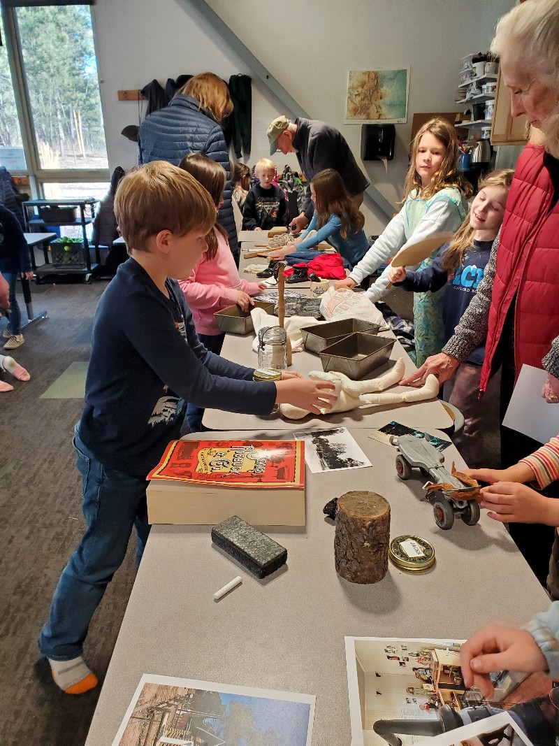
While Black Forest is not an incorporated town, it is well known by that name. At first, the name was more informal but became "more official" with the opening of the Black Forest School (now named Edith Wolford Elementary) in 1923.